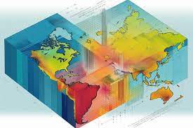
The IT tool1 subject consists of introducing students to geographic information systems (GIS) as a decision-making tool. The content of this subject allows learners to have basic knowledge of geographic information and its representation, GIS, its components and its areas of application. This subject allows the student to become familiar with GIS software (ArcGis autodesk), to extract the information sought and to acquire autonomy in the presentation of georeferenced data, to produce spatial maps and prepare them. to exploitation.
Learning objective:
• Become familiar with the software used in the field of GIS.
• Develop the ability to interpret data.
• Apply the skills acquired in the field of waste management to urban environments and subsequently grasp environmental phenomena.
Learning objective:
• Become familiar with the software used in the field of GIS.
• Develop the ability to interpret data.
• Apply the skills acquired in the field of waste management to urban environments and subsequently grasp environmental phenomena.
- المعلم: Aida DJEGHAR